Watershed assessment presents new opportunities to support Costilla County's historic waterways

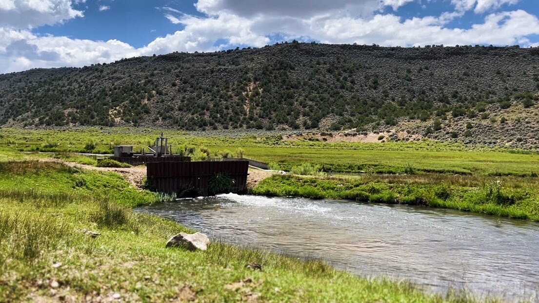
COSTILLA COUNTY, Colo. — Within Colorado’s first established Mexican land grant settlements, watersheds still deliver to downstream farms and ranches via historic, hand-dug systems of aqueducts known as acequias.
The Upper Culebra Creek watershed, a system of acequias in what is now southern Costilla County, was assessed for ecological strengths and restoration opportunities in a multi-year study, now published in an 844-page assessment.
The report is the result of a comprehensive, $740,000 project led by the Costilla County Conservancy District to identify challenges and opportunities within the nearly 200-year-old agrarian water system. Conducted by Tailwater Limited, the assessment was created with financial support from partners including the Conservancy District, Colorado Water Conservation Board, Colorado Watershed Assembly, Trinchera Foundation and the Sangre de Cristo National Heritage Area.
[Read more: Colorado's oldest water rights are a system of hand-dug acequia irrigation ditches predating statehood]
Costilla County Conservancy District board member Ronda Lobato, a sixth-generation resident of San Luis, said the process considered years of community dialogue, planning, fundraising, research and reporting. The resulting assessment highlights watershed conditions and effects on lands irrigated by acequias, acknowledging traditions of stewardship brought to south central Colorado through Spanish, Mexican and Native American migrations and settlement.
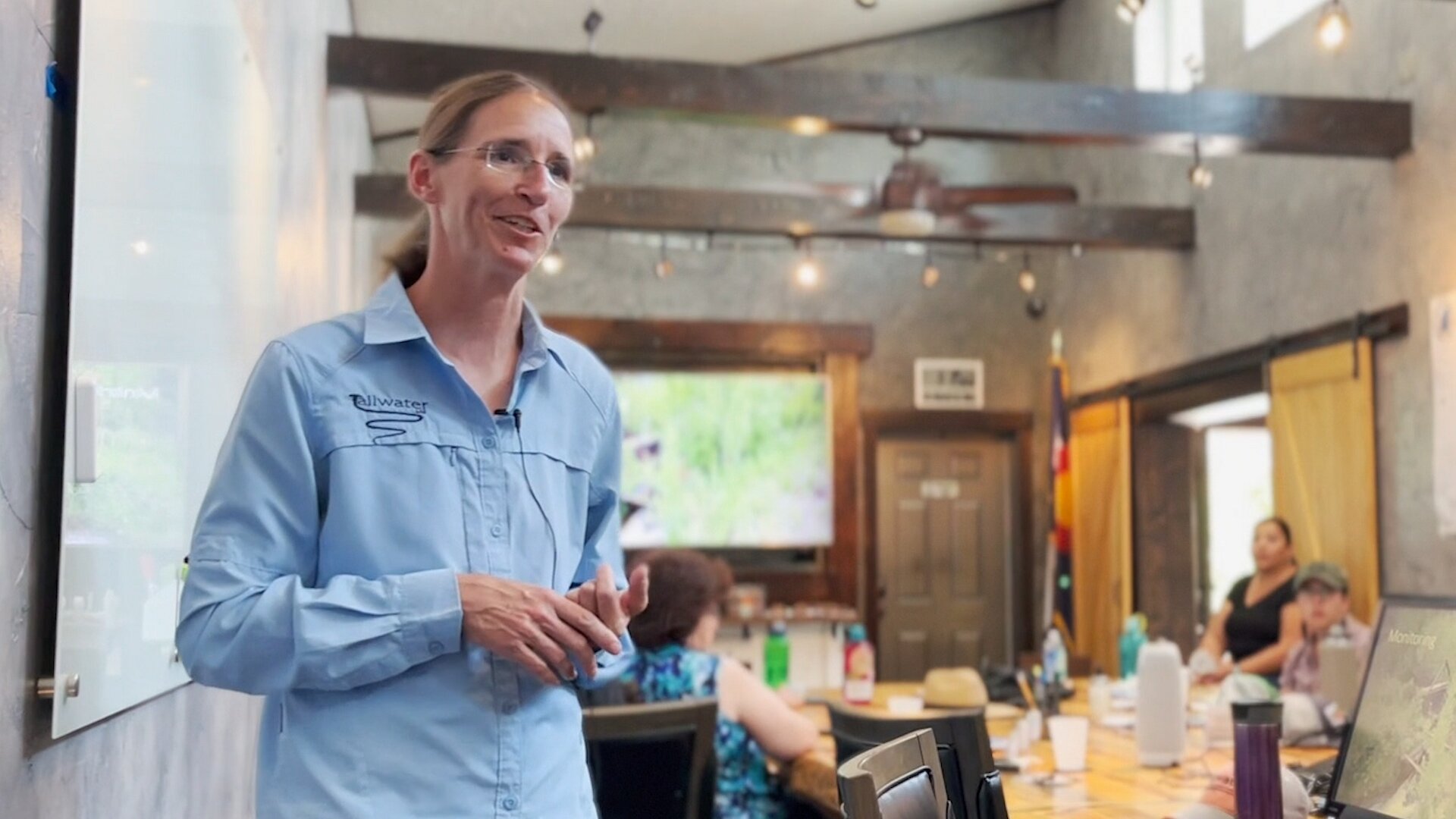
Andrea Taillacq of Tailwater Limited said a large part of the work was understanding the community's customs and traditions relating to water and land.
"There is a deep connection with the natural resources and the way of life for the villages and all the people within the Culebra Basin,” Taillacq said. “Community is very important in this region."

Joel Nystom, Project Manager with Colorado Open Lands, said the context of local history is critical.
"It really helps to understand today’s landscape and today’s issues if we understand the history of this area — which is pretty unique from the rest of Colorado,” he said.
“There were Southern Ute and other Native American tribes who used these lands,” Nystrom continued. “Spanish rule began in the late 1500s, and Mexican rule lasted from 1821 to 1848, which is when the area saw its first ongoing settlements.”
The county’s absence of public lands, he explained, is largely the result of early privatization of the mountainous Sangre de Cristo land grant. Today, part of this former land grant, known as Cielo Vista Ranch, contains the headwaters of each stream in the Culebra watershed.
Nystrom said early territorial changes often still impact social life. “This area has seen a lot of power struggles between wealthy land speculators and the original group of settlers that came up here to subsistence farm, starting in 1864 with [first Territorial Governor] William Gilpin who purchased this land grant,” Nystrom explained. “Even then, they attempted to remove rights and land from the original settlers and their descendants. These issues are still going on today.”
Nystrom referenced Lobato v. Taylor, a long-running legal case in which local landowners were reinstated with their rights to natural resources on the once-communal land grant commons. Interpreting management of the land, including grazing livestock and collecting firewood and timber, has resulted in varying definitions of access that now go back some 175 years.
[Related: Judge will appoint a special master in Costilla County land rights case]
What has also remained is a sense of community and regard for water resources. “Yes, water management here is just like the rest of Colorado — it is based on priority,” Nystrom said. “But it's not just priority. Water is a community resource, rather than a commodity to be bought and sold.”
“Many of the acequias that you see were founded prior to Colorado's, not only statehood, but even becoming a territory,” Nystrom explained. “So, stuff is old down here — or at least old by New World standards. Oftentimes the settlers would establish these acequias before their houses were even done, or their churches were even done, because they were so important to the foundation of a village.”

Acequias are found in Conejos, Costilla, Las Animas, and Huerfano counties and are critical to the cultural heritage and agrarian base of the region, Nystrom said — especially as commodification of resources intensifies. He cited a 2012 study that revealed “the number one priority by residents was protection of water rights, and specifically protection of acequia water rights.”
In 2013, Colorado Open Lands began providing educational resources and tax benefits to watershed landowners through easements. Now totaling more than 1,500 acres over seven watershed properties, the easements, Nystom explained, create permanent restrictions on land and water development. The restrictions are tied to the land in perpetuity. Properties with easements can still be farmed, ranched, mined, leased or sold, but cannot be subdivided, Nystom said, nor can historic use of land and water resources be substantially changed.
Aside from easements, funding for local land and water conservation can come through grants, federal tax deductions, property, and estate taxes, Nystom said. The Sangre de Cristo Acequia Association also partners with the Colorado Law School to provide free legal support to local water rights holders. The Acequia Assistance Project can assist in unique research of property titles and deeds, acequia administration, legal representation, or auditing of decrees. Time equity that law students spend on these issues can then be leveraged as matching funds through grants from the USDA-Natural Resources Conservation Service and more, Nystrom said.

To better understand the future of the watershed, Taillacq said we first need to know where we are today.
Taillacq, who was born and raised in South Fork in the San Luis Valley, said her knowledge of regional water systems was enhanced through four years as a hydrographer with the Division of Water Resources stationed in the Alamosa office.
Knowing that more than 97% of Costilla County land is privately held, Taillacq said she immediately understood that much of the baseline data typically prepared for counties would not be available for this study.
“It’s private. All your standard data sets don’t exist,” she said. “We wanted to increase our understanding and document the conditions in the Culebra Watershed. Let’s get a baseline, so in the future we can look back and say, ‘Where are we at? Have we improved things? Or are things getting worse? Do we need to change?’”
Tailwater created an itinerary around project goals based on 12 areas of interest driven by stakeholder input: Riparian assessment, aquatic assessment, flow regimes including diversions, water quality, forest health, range land, wildlife, historical land use, geology and geomorphology, infrastructure, safety and emergency management, and priority projects.
The study looked at areas of degradation within the watershed resulting from manipulation of stream channels, logging and extraction of natural resources, sedimentation, and natural and human-caused disasters including drought and fire. The study discusses opportunities to plan and create projects to mitigate health and safety issues, and economic opportunities.
Now, the Conservancy will move toward implementation.
Priorities will be “projects that improve the overall health for the greatest number of people,” Taillacq said. “In this basin, we have a lot of shared resources. We share the water, and we have historic access easements on [Cielo Vista Ranch] that require sharing of the range land and the forest. There are still some tensions among the landowners and the descendants in how to access these,” Taillacq noted.
Taillacq said goals are, “How do we work together? How do we do ranch land management? We've got all the users of the mountain, with varying approaches to ranch land management... and we need to take care of the forests as much as we need to keep our streams healthy, to make sure that all those systems work together to improve the basin.”
The entire watershed report can be found on the Conservancy website.
Kate Perdoni is a multimedia journalist with Rocky Mountain PBS and can be reached at KatePerdoni@rmpbs.org.